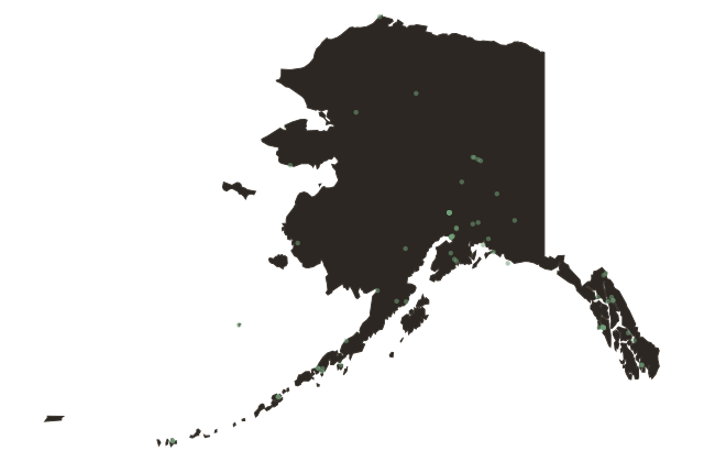
Inside Passage: The Highway Before the Highway
Alaska
Before any road connected the communities of Southeast Alaska to each other, there was the water. The Inside Passage is a corridor of more than a thousand miles of channels, fjords, and sheltered waterways running from Puget Sound north through Southeast Alaska, protected from the open Pacific by a chain of islands that breaks the ocean swell. For most of the year, a small boat can travel its length without ever meeting the open sea.
The Tlingit nations had used this corridor as a trade and travel route for thousands of years before any European chart existed. Canoes moved copper, ooligan oil, shells, and cedar between communities from what is now Washington State to the Copper River Delta. The geography of the Passage is the geography of Tlingit civilization: a connected archipelago, navigable by people who understood the tides.
The Gold Rush of eighteen ninety-seven turned the Inside Passage into a highway. A hundred thousand people poured through it, most of them on steamships operated by companies that had scrambled into service to meet demand. The ports of Ketchikan, Wrangell, Petersburg, Sitka, Juneau, and Skagway are strung along the Passage like beads on a string, and none of them has a road connection to any of the others.
That is still true today. The communities of Southeast Alaska are accessible by air or water only. The ferry system that connects them, the Alaska Marine Highway, follows the same corridor the Tlingit canoes followed and the Gold Rush steamships followed and the cruise ships follow now. The geography has not changed. The people using it have.