The Circular Border, The Strangest Boundary in America
Delaware
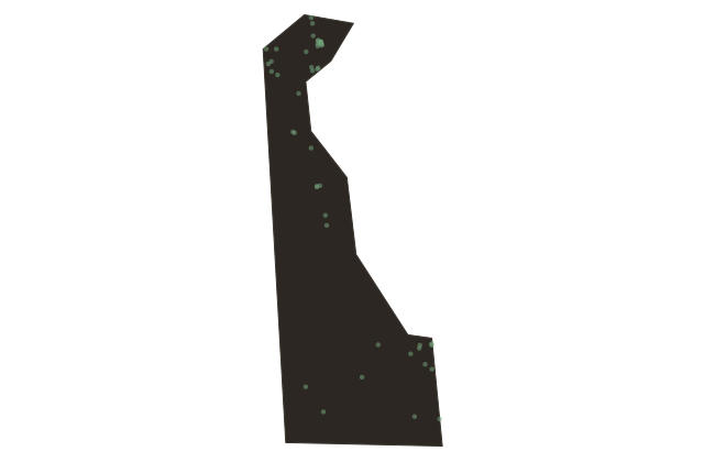
Pull out a map of Delaware and look at the top edge. Every other state in the continental United States has a northern boundary that is either a straight line, a river, or a mountain ridge. Delaware's northern boundary is an arc. A literal arc of a circle, twelve miles in radius, drawn around the courthouse in the town of New Castle. It is often called the only true circular arc among state boundaries in the United States, and it has been creating legal puzzles and cartographic curiosities since sixteen eighty-two.
The origin of the arc lies in the proprietary politics of colonial Pennsylvania. William Penn received a charter for Pennsylvania in sixteen eighty-one, but it gave him no access to the sea. The Delaware River mouth was controlled by the Duke of York, who had taken it from the Dutch in sixteen sixty-four. Penn lobbied the Duke for rights to the lower Delaware River counties, and in sixteen eighty-two received a lease, later converted to a deed, for what are now the three counties of Delaware: New Castle, Kent, and Sussex.
To define his new territory's northern boundary, Penn specified that it should follow a twelve-mile radius from the New Castle courthouse, which would prevent any encroachment from Pennsylvania to the north. The arc marked the northern edge of the lower counties against Pennsylvania, and the land west of it was a boundary dispute with Lord Baltimore's Maryland that dragged on for generations.
The result of that colonial negotiation is still visible on the map today: a smooth geometric arc cuts across the otherwise rectilinear grid of the mid-Atlantic states, marking the spot where two seventeenth-century proprietors argued over land they had never seen. Delaware's distinctive wedge shape, broader at the north, narrowing to a point where the Delmarva Peninsula begins, is the physical consequence of that old dispute, preserved unchanged because no one ever had sufficient reason to straighten it out.