The Delaware River and Bay, An Estuary That Made a Continent
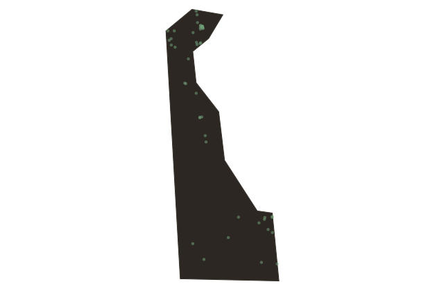
Delaware
Stand at Cape Henlopen, at the mouth of the Delaware Bay, and look east on a clear day. The water ahead of you extends fourteen miles to Cape May, New Jersey, on the opposite shore. Behind you, the bay narrows gradually over forty-eight miles to Liston Point, where the river begins. Above that point the Delaware River runs more than two hundred fifty miles to its headwaters in the Catskill Mountains of New York. This is one of the great water systems of the eastern United States, and for three centuries it was the commercial highway that made the mid-Atlantic region the most economically productive part of North America.
Philadelphia, forty miles upstream from Wilmington, built its fortune on this river. But Delaware owned the bay. Every ship that moved goods between the Atlantic Ocean and Philadelphia had to pass through Delaware's territorial waters, which gave the small colony and later the small state an outsize claim on the commerce of the region. The Delaware ports at New Castle and Wilmington were genuine competitors with Philadelphia into the early nineteenth century, processing grain, timber, and finished goods from the Pennsylvania interior.
The bay is also one of the most important ecological zones on the Atlantic flyway. Each May, horseshoe crabs come ashore by the hundreds of thousands on the beaches of the Delaware Bay shore to spawn, an event that has been happening continuously for hundreds of millions of years. They are among the oldest species on earth, unchanged in their basic design since before the dinosaurs. And each spring their mass spawning draws enormous concentrations of migratory shorebirds, red knots, ruddy turnstones, sanderlings, that stop here to refuel on horseshoe crab eggs before continuing north to Arctic breeding grounds. The bay is a link in a chain that stretches from Tierra del Fuego to the Canadian Arctic, and Delaware's beaches are one of its most critical nodes.