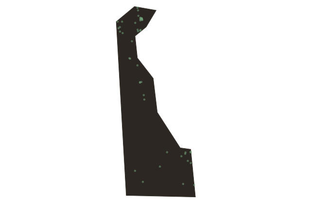
Where Mason and Dixon Started Their Line
Near Wilmington, Delaware
The line that would eventually divide North from South in American imagination began with a survey marker planted right here in Delaware. Charles Mason and Jeremiah Dixon were two English astronomers hired in seventeen sixty-three to resolve a bitter boundary dispute between the Penn and Calvert families over the borders of Pennsylvania and Maryland.
They set up their base in Philadelphia, then moved south to fix the precise latitude of the Pennsylvania-Maryland line, fifteen miles south of the southernmost point in the city. Mason noted this spot in his journal as simply the post marked west. From here, their survey extended for two hundred forty-four miles, ending west of the Allegheny Mountains.
By the time of the Civil War, the Mason-Dixon Line had become the symbolic boundary between slave states and free states, a meaning the surveyors themselves never intended. The original stone markers still stand at intervals across Pennsylvania and Maryland, some maintained by local historical societies to this day.