Jacksonville: Where the River Bends and the Road South Begins
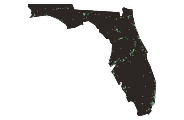
Near Jacksonville, Florida
Jacksonville is the largest city by land area in the contiguous United States. This fact startles most people, including many of its own residents. The consolidation of the city and Duval County governments in nineteen sixty-eight created a single municipal entity covering more than seven hundred forty-seven square miles, a geography so vast that it contains within its borders entire ecosystems: the salt marshes of the Intracoastal Waterway, the dune systems of the barrier island beaches, the pine flatwoods of the western county, and the wide curve of the St.
Johns where it begins its final turn toward the sea. This is not a city shaped by a single idea. It is a layered city, built over the wreckage and the aspirations of many different eras.
The Timucua lived here for millennia before any European drew a map. The French arrived and were destroyed. The Spanish held it for generations and then surrendered it to the Americans.
The British colonials called the ferry crossing the Cowford, a name that was replaced in eighteen twenty-two when the town was incorporated and named after Andrew Jackson. The city burned to the ground in nineteen oh one and rebuilt in brick. It trained the airmen who flew in the Second World War.
It produced James Weldon Johnson and A. Philip Randolph and Eartha White, three people who changed the country in ways the country is still absorbing. It was the site of one of the uglier confrontations of the civil rights era, and also the birthplace of the song that became the movement's anthem.
The river still moves north. The road south from here runs roughly five hundred miles to Key West, following a coastline that Flagler's railroad opened to settlement more than a century ago. Jacksonville sits at the top of that road, improbably large, perpetually underestimated, and full of more history than most people who drive through it ever slow down long enough to notice.