The Florida Aquifer and the Coasts, Water Beneath and Beside
Florida
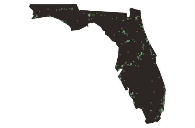
Florida sits on limestone. The entire peninsula is underlain by one of the most productive freshwater aquifer systems in the world, the Floridan Aquifer, a massive body of porous carbonate rock that holds water that fell as rain thousands of years ago, some of it during the last ice age when sea levels were lower and much of the current continental shelf lay exposed to sky. The aquifer expresses itself on the surface in a network of springs unlike anywhere else in the lower forty-eight states.
Florida has hundreds of named springs, more than any other state, and arguably more than any comparable land area on Earth. Wakulla Springs, Ichetucknee Springs, Silver Springs, Crystal River, Rainbow Springs, Blue Spring near Orange City, each of these discharges millions of gallons of constant-temperature water every day, year-round, clear enough to see the limestone bedrock forty feet below the surface. The springs support manatees, which gather in the warm constant-temperature water during winter months when Gulf and Atlantic temperatures drop.
The limestone that feeds the aquifer also shapes the land in a process called karstification, the slow dissolution of the rock by slightly acidic groundwater, which creates sinkholes, caves, and underground rivers. Sinkholes open in Florida every year, and more of them appear during droughts when the water table drops and the unsupported limestone collapses. The most dramatic sinkhole event in recent decades opened in Winter Park in May nineteen eighty-one, swallowing a house, part of a street, five Porsches from an adjacent dealership, and a municipal swimming pool.
The coasts themselves are the final fact about Florida's geography. The state has approximately one thousand three hundred fifty miles of coastline, second only to Alaska among the fifty states, divided between the warmer, shallower Gulf side and the cooler, deeper Atlantic side. The coasts are the reason people come to Florida, and they are also the most vulnerable part of it: low-lying, storm-exposed, and facing sea-level rise that is occurring measurably faster along the Florida coast than the global average.