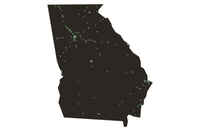
The Shape of Georgia, Fall Line, Mountains, and Coast
Georgia
Stand anywhere in Georgia and the land beneath you is making an argument. The state stretches roughly three hundred miles from the Blue Ridge peaks in the north, where Brasstown Bald reaches nearly forty-eight hundred feet, down through rolling Piedmont clay, then across the Fall Line, then into the coastal plain that flattens toward the Atlantic and the barrier islands. That fall line is the invisible hinge of Georgia's story. It is the place where rivers drop from hard Piedmont granite onto softer coastal sediment, where waterfalls once powered mills, where colonial towns planted themselves to catch that energy. Augusta sits on it. Macon sits on it. Columbus sits on it. The Fall Line Highway follows it for hundreds of miles.
North of the line the Appalachian foothills fold into steep hollows where Appalachian culture took root early and held fast. South of it the coastal plain stretches toward the Okefenokee Swamp, one of the largest intact freshwater wetland systems in North America, nearly four hundred thousand acres of blackwater and cypress and carnivorous plants and American alligators. Between them the red clay Piedmont, Georgia's heartland, where cotton once covered the earth wall to wall and where Atlanta eventually rose from a railroad terminus in a forest clearing.
Georgia's three geographic regions are not just scenery. They shaped which crops grew, which peoples stayed and which were driven out, where industry landed and where it did not. Every time you cross the fall line, in either direction, you are crossing a boundary that determined the fate of entire generations.