Route Sixty-Six, Main Street of America
Illinois
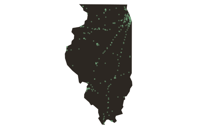
On November eleven, nineteen twenty-six, the United States numbered a new highway and gave it a name that would outlast the road itself. Route Sixty-Six ran from Chicago to Los Angeles, nearly twenty-four hundred miles, through eight states. Illinois held the first three hundred miles, from the start at Michigan Avenue and Jackson Boulevard in Chicago, southwest through Joliet, Pontiac, Bloomington, Springfield, Litchfield, and Staunton, ending at the Chain of Rocks Bridge over the Mississippi at the Missouri border.
The Illinois segment of Route Sixty-Six was the first section of the entire highway to be paved, completed in nineteen twenty-nine. For that reason, it was also the first section to begin accumulating the roadside culture that would define the highway's mythology: the diners, motor courts, service stations, roadside attractions, and neon signs that made the road a landscape of American commercial invention.
The highway carried Dust Bowl refugees west in the nineteen thirties, the dispossessed Oklahomans and Arkansans whom John Steinbeck called the people of the highway. It carried soldiers and war workers in the nineteen forties. It carried the postwar middle class on summer vacations in the fifties and early sixties. Then the Interstate Highway Act of nineteen fifty-six began redirecting traffic onto four-lane bypasses, and town after town along the old two-lane road watched the traffic drain away. Route Sixty-Six was officially decommissioned in nineteen eighty-five, replaced by Interstate Fifty-Five through most of Illinois.
The road refused to die. The original pavement is preserved in segments across the state, marked and mapped as a heritage byway. The towns that the highway built, the drive-ins and the Gemini Giants and the Launching Pad in Wilmington, have become the object of a worldwide nostalgia for a particular American moment that may or may not have been as good as it looks in the rearview mirror.