The Rock Formations and the Removal Road: Shawnee's Two Stories
Illinois
The Shawnee National Forest sits at a biological crossroads. The southern tip of Illinois marks the northern limit of cypress swamps and the southern limit of prairie grasses, the eastern edge of the Ozark uplift and the western edge of the Appalachian foothills. Twelve distinct ecological communities have been mapped in the forest, more than in most forests twice its size, because the geography here is a seam where multiple biological zones overlap.
The forest was assembled from land that the federal government purchased during the Great Depression from farmers who had farmed it out. Soil erosion was severe, farms were failing, and the Conservation movement of the nineteen thirties found in southern Illinois a landscape where intervention was necessary and land prices were low. The Civilian Conservation Corps built roads, trails, and shelters in the Shawnee starting in nineteen thirty-three, and some of that infrastructure is still in daily use.
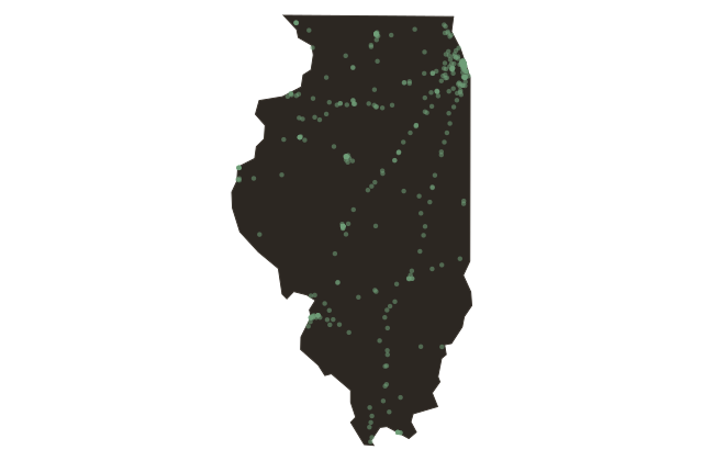
The Trail of Tears National Historic Trail runs through the Shawnee. The Cherokee removal of eighteen thirty-eight sent separate detachments across southern Illinois by different routes, and several of the documented crossing points of the Ohio River fall within or adjacent to the forest. At Golconda, Illinois, on the Ohio River, Cherokee detachments were held for weeks waiting for the ice to clear or for boats to become available. People died waiting.
The Shawnee contains the southernmost extent of the North Country National Scenic Trail and is also connected to the River-to-River Trail, a state-designated route that crosses the forest from the Ohio to the Mississippi on foot. The geology that brings visitors to the Garden of the Gods and the history that brought the Cherokee through this landscape in winter are carried by the same ground.