Indiana's Northern Boundary: A Line That Moved
Near South Bend, Indiana
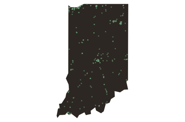
The border you are near marks a boundary line that was deliberately moved before Indiana became a state. When Congress established Michigan Territory in eighteen oh five, it drew the line between the two territories at roughly this latitude. Under the original Northwest Ordinance formula, Indiana would have had no shoreline on Lake Michigan at all.
As statehood approached, Indiana gained Lake Michigan access, and just before Indiana entered the union in eighteen sixteen, the boundary was shifted ten miles north, handing Indiana a narrow corridor of Lake Michigan shoreline. That strip of lakefront land eventually became the site of Michigan City, a critical port, and later the dunes and beaches that today form Indiana Dunes National Park.