Statehood and the Shape of Iowa
Iowa
Iowa became the twenty-ninth state of the Union on December twenty-eighth, eighteen forty-six. The timing was deliberate, calibrated by the arithmetic of sectional politics. Iowa came in as a free state paired with Florida, which had entered the Union as a slave state the previous year. The Senate balance between slave and free states had to be maintained, and Iowa's statehood was part of that calculation, a reminder that from its earliest days, the state existed inside a national argument it had not started and could not escape.
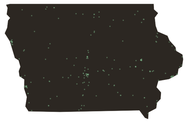
The Iowa that entered the Union was not quite the Iowa you are driving through. Its borders had been contested for years. The state's original proposed boundaries were rejected by Congress as too large; the final shape, the wedge of land between the Mississippi on the east and the Missouri on the west, with a surveyed line at roughly forty-three and a half degrees north cutting across the top and the surveyed Sullivan line along the Missouri border tracing the southern edge, was a compromise. Those two great rivers give Iowa something rare among states: its eastern and western borders are defined almost entirely by rivers.
The capital city had its own journey. Iowa City served as the territorial and early state capital, a planned town on the Iowa River built around a handsome Greek Revival statehouse. When the population center moved west with the settlers, so did the capital, relocating to Des Moines in eighteen fifty-seven. The old statehouse in Iowa City became the founding building of the University of Iowa, which is its own kind of continuity, the seat of government transformed into the seat of learning.
Iowa in eighteen forty-six had roughly a hundred thousand people. Within a quarter century it would have more than a million. The prairie was about to be turned inside out.