Meades Ranch Triangulation Station
Kansas
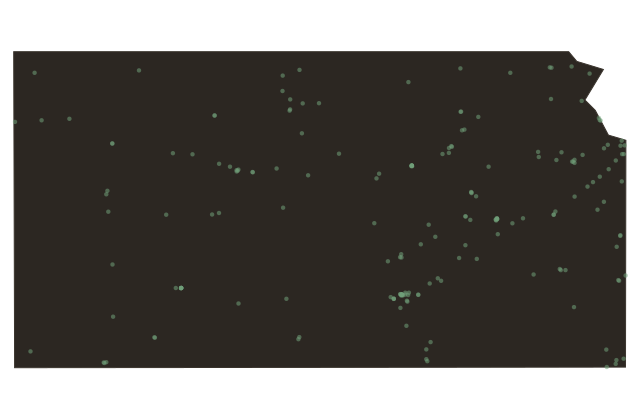
Out here on the high plains of Osborne County sits one of the most important survey marks ever placed in North America. In the eighteen seventies and eighteen nineties, the United States Coast and Geodetic Survey ran a precise chain of triangulation clear across the continent, from a lighthouse at Cape May, New Jersey, to one at Point Arena, California. One monument in this stretch of central Kansas was named Meades Ranch, after the landowner William Mead.
Starting in nineteen oh one, this single point became the anchor for every horizontal map measurement in the country, the reference from which all latitudes and longitudes were figured. By nineteen thirteen the whole continent used it, later recalculated as the North American Datum of nineteen twenty seven. For most of the twentieth century, the precise location of nearly everything in America was measured from this quiet Kansas hilltop.