New Orleans: Below Sea Level and Still Here
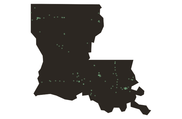
Louisiana
New Orleans sits in a bowl. The city occupies land that is, on average, a foot or two below sea level, and in some neighborhoods about seven feet below, surrounded by Lake Pontchartrain to the north, the Mississippi River curving around it to the south and east, and the Gulf of Mexico less than sixty miles away. It has been here since seventeen eighteen, when the French colonial administrator Jean-Baptiste Le Moyne de Bienville ignored the advice of his own engineers and established a settlement on the lowest, wettest, most flood-prone site on the lower Mississippi River.
The engineers said do not build here. He built here. It worked, for three hundred years, because of the levee system, the pumping stations, and an engineering commitment to keeping the water out that has never fully succeeded and has never stopped.
Katrina revealed in August two thousand five exactly what happens when that commitment fails. The levees failed, not the storm, the levees. More than one thousand people died in Louisiana.
Eighty percent of the city flooded. The Lower Ninth Ward, a predominantly African American neighborhood on the east side of town, was still largely derelict a decade later. The city rebuilt, selectively.
The French Quarter, which is on higher ground and which attracts tourist revenue, was not flooded and recovered quickly. The neighborhoods that flooded and were poor recovered slowly and incompletely. This pattern, disaster relieved by geography and income, is not specific to New Orleans, but New Orleans demonstrated it more clearly than most American cities have managed.
The city you are entering is among the most musically vital, architecturally distinctive, and gastronomically serious in the country. It is also sinking. Sea level rise and wetland loss are removing the buffer between the city and the Gulf at a rate that no infrastructure project currently funded is designed to fully address.