The Tornado of June First
Near Springfield, Massachusetts
The afternoon of June first, twenty eleven started warm and unremarkable. Western Massachusetts does get tornadoes, the region's geography, where cold air pouring down from the Green Mountains meets warm Gulf moisture along the Connecticut River valley, creates the conditions. But a powerful one had not struck a New England city in decades.
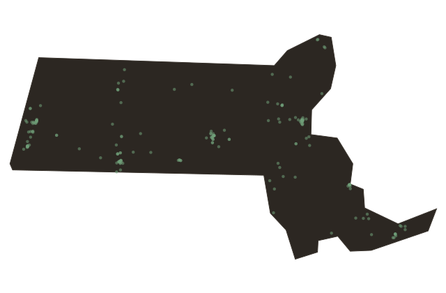
When the National Weather Service confirmed a tornado warning that Wednesday afternoon, many Springfield residents took it as a routine precaution. The tornado touched down in Westfield, west of the city, and moved northeast. It was rated EF-three on the Enhanced Fujita scale, with peak winds estimated at one hundred sixty miles per hour.
Its path stretched thirty-eight miles, the second longest tornado track in Massachusetts recorded history. It crossed the Connecticut River and drove through the South End of Springfield, through neighborhoods of triple-decker houses and corner stores that had stood for a century. Three people died in the tornado and one more from an indirect cause.
At least two hundred were injured. More than fourteen hundred homes were damaged or destroyed. In Springfield alone, seven thousand five hundred mature trees were uprooted or splintered.
Streets that had been shaded for generations were suddenly bare. The cleanup took months. Whole blocks of the South End were fundamentally changed.
Massachusetts had not seen a killer tornado since nineteen ninety-five, and the one that came in two thousand eleven reminded the region that the river valley's geography offers beauty and vulnerability in the same package. The afternoon was ordinary until it was not.