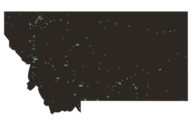
Missoula, Montana
Near Missoula, Montana
Missoula sits where five mountain valleys converge on the Clark Fork River, a geographic fact that has made it a crossroads for twelve thousand years. The Bitterroot Salish people, who called the valley lm-i-sul-etiku, meaning the place chilled by cold waters, passed through here regularly on their way to and from the buffalo plains to the east. That route through the canyon east of town was dangerous country, prone to ambushes. French fur trappers who came through in the eighteen twenties saw enough bleached bones to give the place a name: Porte de l'Enfer, the Gate of Hell. That canyon is still called Hellgate today, and the University of Montana athletic teams carry the name Grizzlies partly in defiance of it.
The treaty that shaped this region was signed on July sixteenth, eighteen fifty-five, just a few miles from here at Council Grove. Eighteen tribal leaders signed the Hellgate Treaty, ceding more than twenty million acres to the United States in exchange for a reservation of one-point-three million acres in the Flathead Valley to the north. The town that grew up here took the Salish word for the valley as its name: Missoula.
The University of Montana arrived in eighteen ninety-three, and the institution became the anchor of a city that grew not around extraction. No copper mines here, no cattle empire, but rather knowledge, fire science, and wilderness. Missoula is home to the largest smokejumper base in the country: since the nineteen forties, elite firefighters have trained here to parachute into remote wilderness fires. The Rattlesnake Wilderness begins just four miles north of downtown, a thirty-three-thousand-acre roadless area that Congress protected in nineteen eighty.
Today Missoula is one of the most educated and politically distinct cities in Montana, a college town where the river runs through the middle of downtown and fly fishing is less a hobby than a civic religion.