Carolina, The Geography of a State That Shouldn't Work
North Carolina
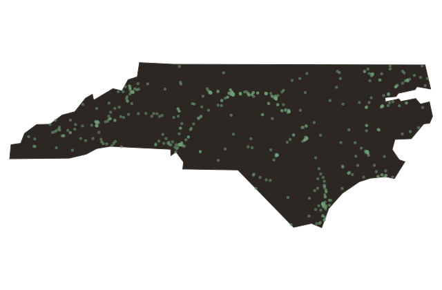
North Carolina is a state that shouldn't quite hold together. From its eastern shore to its western peaks is five hundred miles, nearly the width of Texas from Amarillo to El Paso. The land crosses four distinct regions: the coastal plain, the Piedmont plateau, the Blue Ridge escarpment, and the Appalachian highlands.
The climate in Wilmington on the coast is subtropical; in Boone, in the northwestern mountains, it snows in May. Tobacco grows in the east; Christmas trees grow in the west. The colonial boundary was drawn in sixteen sixty-three by Charles II as part of the Carolina charter, a land grant so enormous it stretched from Virginia south to Florida and from the Atlantic to the Pacific, at least in theory.
The northern and southern halves of Carolina were formally separated in seventeen twelve, when the distance between the settlements had made a single colonial government unworkable. North Carolina's early capitals included Bath and Edenton, on the Albemarle Sound, and the capital moved several times before finally settling at Raleigh in seventeen ninety-two, a new city built at the geographic center of the state precisely because no existing city could claim to speak for all of it. That tension between the coastal tidewater gentry, the Piedmont farmers, and the mountain settlers has been the organizing tension of North Carolina politics for three hundred years.
It produced the Regulator revolt. It produced a state that split roughly in half during the Civil War, sending sons to both armies. It produces, today, a political map that looks different from almost any other state, with urban centers and college towns running Democratic, rural counties running Republican, and the mountains an unpredictable third thing, often voting against the lowland establishment regardless of party.
You are driving through a place where geography is argument, and the argument is still going.