David Thompson Maps the Unknown
North Dakota
In seventeen ninety-seven and seventeen ninety-eight, a geographer of Welsh descent named David Thompson passed through this corner of the continent on a mission that would reshape how the world understood North America.
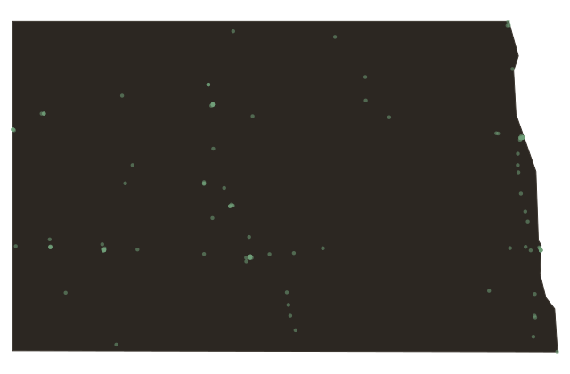
Thompson worked for the North West Company, mapping the lands that would become North Dakota. He carried a sextant and compass into country that no European cartographer had charted, recording latitude and longitude with remarkable precision for the era.
By the end of his life in eighteen fifty-seven, Thompson had surveyed well over a million square miles of North American territory. His maps were so accurate that they remained in use for generations. A monument near this site marks where his expedition traveled through what is now the northern plains.