Swift Run Gap: The Highway Through the Mountain
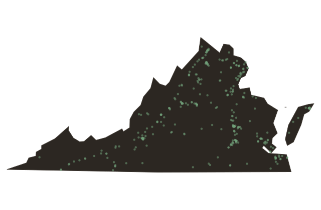
Virginia
Swift Run Gap is one of the lowest points along the entire Blue Ridge crest, sitting at roughly twenty-four hundred feet where the ridge dips enough for a road to cross without heroic engineering. That geography has made this gap a transit point for as long as people have been moving through this part of Virginia.
John Lederer, a German physician exploring on behalf of Virginia's Royal Governor, is credited with being the first European to document a crossing of the Blue Ridge, in sixteen sixty-nine, though historians are unsure which gap he used. He came through from the Piedmont side looking for a route to the Pacific and found instead a gap in the mountains and a view west into the Shenandoah Valley. He wrote about what he saw. The Pacific was considerably farther than he had anticipated.
The colonial-era road that followed Lederer's route through Swift Run Gap became a main artery for the movement of settlers into the Shenandoah Valley in the seventeen hundreds. German and Scots-Irish immigrants who had come down through Pennsylvania arrived at this gap and turned south into the valley or pressed west. The road through Swift Run Gap was later designated Route Thirty-Three, which still runs through it today, crossing under the Skyline Drive at a notch in the ridge that explorers have used since the sixteen hundreds.
George Washington reportedly used the gap during his surveys and military movements in the mid-seventeen hundreds, though the historical record on specific crossings is inconsistent enough that local claims require some scrutiny. What is not disputed is that the gap served as a major supply and movement route during the Civil War. Both Union and Confederate forces crossed through Swift Run Gap multiple times. Stonewall Jackson moved his army through here in the spring of eighteen sixty-two during his Shenandoah Valley Campaign, using the gap's geographic logic the same way everyone before him had.
The Skyline Drive crosses Route Thirty-Three here at milepost sixty-five point seven. The overlook on the south side of the gap provides a long view back over the Piedmont. The gap has been in continuous use as a crossing point for more than three hundred and fifty years, which by the standards of this ridge is not very long at all.