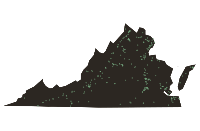
The Three Faces of Virginia
Virginia
Stand almost anywhere in Virginia and within a day's drive you can touch three entirely different worlds. The Blue Ridge Mountains rise in a long blue wall across the western third of the state, old and worn, part of the Appalachian chain that geologists date to more than three hundred million years ago. Downhill from that wall lies the Piedmont, a rolling inland plateau that colonial planters turned into the engine of an agricultural empire. And then the land drops again to the Coastal Plain, the flat low country the English called the Tidewater, braided with the James and the York and the Rappahannock and the Potomac, rivers that have carried tobacco, soldiers, and the entire fate of a nation to the sea.
Virginia is the twelfth largest state east of the Mississippi, roughly forty-two thousand square miles, but its landscape packs the drama of a continent into that space. The Chesapeake Bay, the largest estuary in the United States, defines the eastern edge, its about forty-five hundred square miles of tidal water draining a watershed that reaches all the way to upstate New York. Oysters, blue crabs, and rockfish built entire economies along its shores. Watermen still work the Bay today, though their harvests are a fraction of what colonial accounts described.
The fall line, where Piedmont rivers tumble off hard rock into the tidal lowlands, determined where cities grew. Richmond, Fredericksburg, Petersburg, and Alexandria all stand at that geological seam. Understanding this three-part geography, the mountains, the Piedmont, the Tidewater, is the foundation for understanding nearly every chapter of Virginia history. The land shaped the people, who shaped the nation, who are still arguing about what Virginia means.