Olympic Peninsula: Rainforest, Coastal Nations, and the Smallest Reservations
Near Forks, Washington
The Hoh Rain Forest receives up to fourteen feet of rain per year, fed by Pacific moisture that stalls against the Olympic Mountains and wrings itself out over a forest of Sitka spruce, western red cedar, and bigleaf maple draped in club moss. It is among the wettest places in the contiguous United States. It is also one of the most visited sections of Olympic National Park, drawing hundreds of thousands of people annually to walk among trees that can live for centuries in a forest floor that never fully dries out.
The Hoh people have lived in this drainage since long before the park existed. The Hoh Tribe's reservation, established by federal executive order in eighteen ninety-three, sits at the mouth of the Hoh River where it meets the Pacific. It is three-quarters of a square mile. Three-quarters of a square mile for a people whose territory once encompassed the entire river valley and its tributary systems.
A few miles north along the coast, the Quileute Reservation at the village of La Push is about one and a half square miles. The Quileute have occupied this coastline for thousands of years; their oral traditions describe being here before the last great flood. Their reservation, created by federal executive order in eighteen eighty-nine, is one of the smallest in Washington state. The village of La Push sits on a narrow spit between the river mouth and the sea, subject to regular flooding and erosion. The Quileute Tribe has spent more than a decade seeking federal legislation to move the village to higher ground on land adjacent to the current reservation boundary; Olympic National Park surrounds them on the landward side.
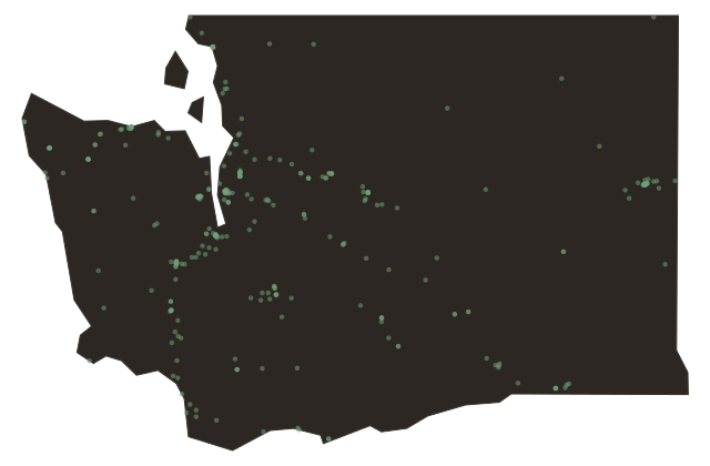
The disparity is visible from a map. The park boundaries encompass nearly a million acres of what was once Hoh, Quileute, Quinault, Makah, Klallam, and Skokomish territory. The reservations assigned to those peoples measure in square miles, sometimes in fractions of a square mile. The rainforest that tourists drive through on the way to the visitor center was Hoh land. That is not a metaphor. It is a land record.