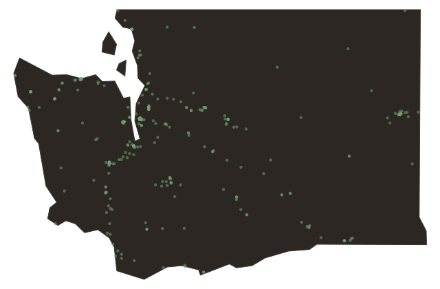
Two Washingtons, The Cascade Divide
Washington
Drive east from Seattle on Interstate Ninety. Within an hour you are climbing into the Cascade Mountains, and within two hours, when you descend through Snoqualmie Pass into the Kittitas Valley, you have crossed one of the most dramatic climatic and cultural divides in the United States.
Western Washington is wet. Famously, persistently, sometimes maddening wet. The Olympic Peninsula receives between one hundred forty and one hundred sixty inches of rainfall per year, more than nearly anywhere in the lower forty-eight. Even Seattle, sheltered somewhat by the Olympics, averages about thirty-seven inches annually. The western slopes of the Cascades catch moisture rolling off the Pacific and squeeze it into forests of unreal density. Moss covers everything. Ferns grow to head height.
Cross the pass and the air changes within miles. The eastern Cascades cast a rain shadow that begins almost immediately and deepens as you drive east toward Yakima, the Tri-Cities, Spokane. Annual precipitation in the Palouse wheat country runs roughly twelve to twenty-two inches. The Yakima Valley, one of the most productive agricultural regions in North America, averages eight inches a year, it is essentially a desert, irrigated into abundance by Yakima River water.
This divide has shaped Washington's politics as much as its ecology. Western Washington, densely populated and economically tied to the port cities, the tech industry, and the aerospace complex, has trended politically in one direction for decades. Eastern Washington, agricultural, more sparsely settled, culturally aligned with the inland West, has trended in the other. The Cascades are a geographic fact that functions, in political terms, almost like a state line.
They are also simply magnificent. On a clear day, you can stand in the passes and see both sides of the world.