The Chemical Corridor
Near Baton Rouge, Louisiana
Standard Oil built a refinery at Baton Rouge in nineteen oh nine, on the riverbank south of the city, and that single facility set the direction of the region for the next century. The refinery grew. It attracted related industries. The petrochemical complex expanded south along the river, one facility after another, between Baton Rouge and the Gulf of Mexico, for a hundred and eighty-four miles.
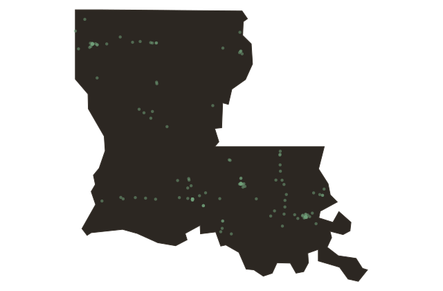
Today that corridor is known formally as the Mississippi River Chemical Corridor and informally as Cancer Alley. It contains more than three hundred fifty industrial facilities: refineries, chemical plants, plastics manufacturers, and related operations. The region accounts for roughly twenty-five percent of American petrochemical production. The ExxonMobil refinery at Baton Rouge, the direct descendant of that nineteen oh nine Standard Oil plant, ranks among the five largest refineries in the United States.
The health consequences along the corridor are documented and severe. Government assessments have found cancer risk in some communities at levels forty-seven times the threshold considered acceptable. The Denka chemical plant in St. John the Baptist Parish, which manufactures neoprene and emits a chemical called chloroprene, sits adjacent to a community where residents face a cancer likelihood seven hundred times the national average. These numbers come from the Environmental Protection Agency's own risk assessments.
The corridor's industrial footprint was largely laid down in the decades following World War Two, and the facilities concentrated most heavily in communities that were predominantly Black and low-income, many of them on land that had been plantation property in the antebellum period. The pattern was not coincidental.
The plants produce things the country uses. The question of who bears the cost of producing them has been the subject of litigation, protest, and unresolved policy arguments for decades.