The Red Stick
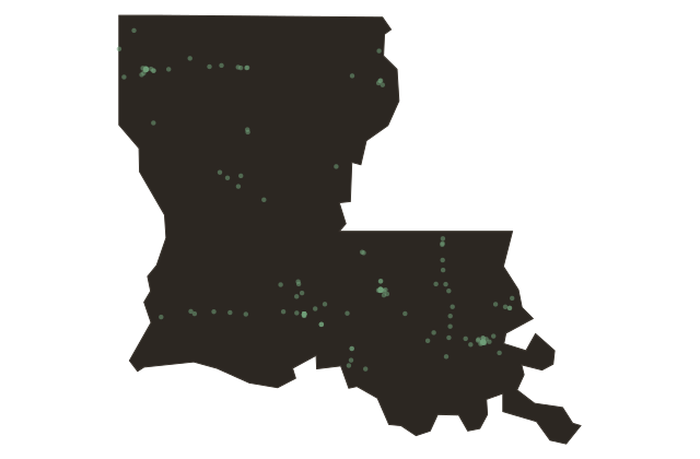
Near Baton Rouge, Louisiana
Somewhere along the bluffs above the Mississippi River, sometime before the French arrived, two nations drew a line. The Houma people and the Bayougoula people had worked out the boundary between their hunting territories, and they marked it the way you mark a serious boundary: they drove a pole into the ground. The pole stood thirty feet high. It had been painted red, and it was hung with fish heads and bear skulls. You could see it from the river. You knew exactly what it meant.
The French explorer Pierre Le Moyne d'Iberville came up the Mississippi in the spring of sixteen ninety-nine, and he saw the pole. His expedition's carpenter, a man named André-Joseph Pénicaut, wrote it down in his journal: a post painted red, planted by the savages to mark the land line between the two nations. In French, that phrase compressed into two words: bâton rouge. The red stick.
The location of that pole is believed to have been somewhere near what is now the campus of Southern University, on the bluffs north of the present-day city. The pole itself is long gone. But the name it left behind traveled through three colonial empires, a revolution, statehood, and two centuries of American history, and it still belongs to this place.
Baton Rouge. The red stick. A city named for a marker that two Indigenous nations planted to tell each other: this far, and no farther. It is one of the older place names in the American South, rooted in a negotiation that happened here long before any European flag was flown on this bank of the river.
The Houma people are still here, state-recognized, roughly seventeen thousand members across six Louisiana parishes. Their petition for federal recognition remains pending as of the mid-two thousand twenties.