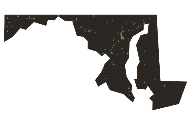
Vienna, Maryland
Maryland
Vienna sits on the Nanticoke River in Dorchester County, and it has been here since seventeen oh six, when the Maryland colonial assembly decreed a town should exist at this crossing.
Before the town had its European name, this bend of the Nanticoke was the site of Chicacone, the largest Nanticoke village that Captain John Smith mapped during his sixteen oh eight exploration of the Chesapeake. Smith drew it into his famous map of Virginia, published in sixteen twelve.
A river ferry operated here in the colonial era. The town became a colonial tobacco port, part of the web of small waterfront landings that moved Eastern Shore crops to Chesapeake markets. Vienna has stayed small, fewer than three hundred residents today, tucked on the same bank of the same river where Nanticoke people lived long before the colony named it.