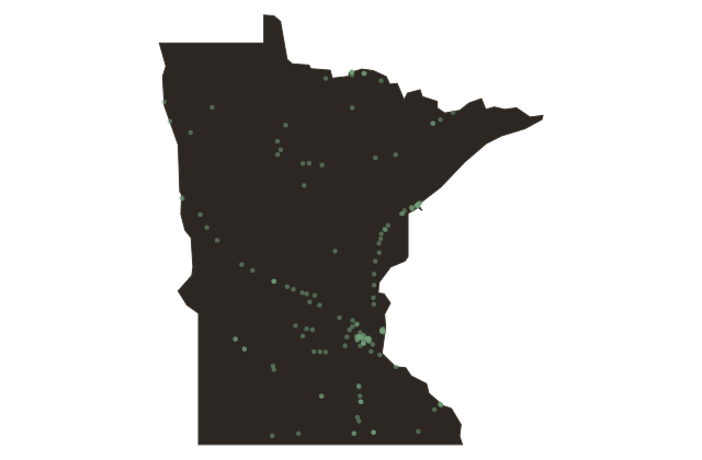
The Canoe Country: Superior National Forest and the Portage Trail
Minnesota
The Superior National Forest surrounds the Boundary Waters Canoe Area Wilderness on three sides, providing a buffer between the fully protected interior and the broader managed landscape of northeastern Minnesota. Together they represent one of the largest lake-and-portage systems remaining in North America, the same water routes the Ojibwe traveled for centuries and the voyageurs used for the fur trade after European contact.
A portage is a carry. When the water route between two lakes requires land travel, a canoe tripper lifts the canoe, shoulders the packs, and walks. The portages of the Boundary Waters range from a few steps over a beaver dam to miles of rocky trail. The shortest is measured in rods, the traditional canoe-country unit of length: one rod is sixteen and a half feet. The longest portages in the Boundary Waters cross several miles of ridge country. The entire system, thousands of lakes and streams in the quetico-superior country across the Canadian border, was mapped by the Ojibwe long before Europeans arrived to name it.
The Superior National Forest manages three point nine million acres of this landscape, including portions accessible by motorboat, by road, and by foot outside the Boundary Waters. The forest holds some of the most productive lake trout, walleye, and northern pike fishing in the Great Lakes region. It also contains one of the most extensive stretches of old-growth boreal-transition forest remaining in the lower forty-eight states, a spruce-fir-aspen landscape that extends without interruption from the Boundary Waters north into the Quetico Provincial Park in Ontario.
The loon you hear on the lake is the state bird of Minnesota. It breeds on lakes where the water is still clear enough to see the bottom from fifteen feet. There are plenty of those lakes here.