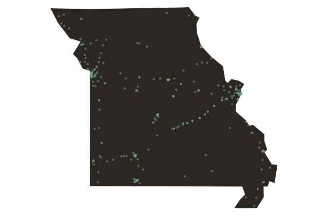
Saint Clair: Deep in the Gasconade Hills on Route Sixty-Six
Missouri
Saint Clair is a Franklin County town established in eighteen fifty-nine, sitting in the rolling limestone hills of the Missouri Ozark fringe between Saint Louis and Springfield. It takes its name from a railroad official surnamed Saint Clair.
Route Sixty-Six passed directly through Saint Clair on the original alignment, and the town served as a rest stop and fuel point on the long drive across Missouri. The Ozark foothills around Saint Clair are characterized by cedar-covered ridges, rocky creek bottoms, and the agricultural patchwork of small family farms that defined the region for generations. The county seat is Union, but Saint Clair hosts a modest Main Street that preserves some of the motor-court and diner architecture from the highway's peak decades.