Sullivan: Ozark Gateway on the Gasconade
Missouri
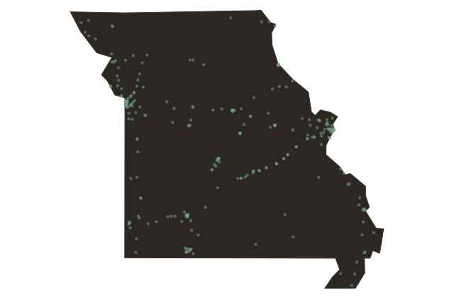
Sullivan straddles the line between Franklin and Crawford Counties in the Missouri Ozarks, where Route Sixty-Six dipped into the Gasconade River watershed and the terrain began the long roll into the deeper hill country toward Springfield. The town was platted in eighteen fifty-six along the Pacific Railroad, later absorbed into the Missouri Pacific, which punched through the Ozarks in the eighteen fifties to connect St. Louis to Kansas City.
Route Sixty-Six followed roughly the same topographic logic the railroad had found, cutting through the river valleys where the grades were manageable. Sullivan developed as a lumber and agriculture town and became a minor tourist gateway to Meramec State Park, just to the east along the Meramec River. For Route Sixty-Six travelers in the nineteen thirties and forties, Sullivan was where the Ozark character of the drive began in earnest, the first town after leaving the St.
Louis orbit where the hills felt genuinely rural.