The Pacific Crest Trail: Two Thousand Six Hundred Fifty Miles of Indigenous Territory
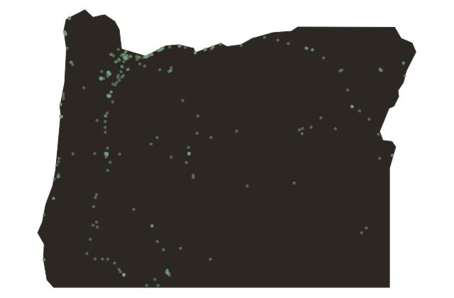
Oregon
The Pacific Crest Trail runs two thousand six hundred fifty miles from the Mexican border at Campo, California, to the Canadian border at Manning Park, British Columbia. For most of that distance, it follows the spine of the Sierra Nevada and the Cascade Range, the same high corridors that Indigenous peoples traveled for ten thousand years before the trail was given a name and a designation.
The trail crosses the Columbia River here, at Cascade Locks, on the Bridge of the Gods. It is the only point on the entire route where the trail crosses a major river on an actual bridge, steel and steel cable, above a river that a geological landslide once dammed and a trade network twelve thousand years old once used as its commercial highway.
The Cascade segment of the Pacific Crest Trail passes through or near the treaty territories of more than a dozen nations, including the Yakama, the Warm Springs, the Modoc, the Klamath, the Shasta, the Kalapuya, and the Nisqually. In many places, it follows the exact routes of Indigenous trade corridors that preceded the trail designation by millennia. The paths were already there. The designation came later.
The Pacific Crest Trail Association has increasingly acknowledged this history since the twenty-tens, including land acknowledgments and partnership agreements with tribal nations along the route. The trail sees several thousand long-distance hikers per year in its northern sections, and hundreds of thousands of day users across the full length.
Almost none of them are on a formal land acknowledgment when they step onto the bridge here. Almost all of them cross, without knowing it, from one Indigenous homeland to another.