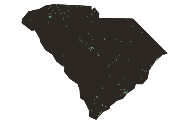
Storms, South Carolina and the Hurricane Coast
South Carolina
The Atlantic hurricane season runs from June through November, and South Carolina sits squarely in its path. The state's geography makes it particularly exposed: the coastline curves outward into the Atlantic just enough to catch storms that travel up the eastern seaboard, and the shallow continental shelf amplifies storm surge in ways that can push walls of water miles inland through the tidal river systems. The history of the state is punctuated by storms.
The Sea Islands Hurricane of eighteen ninety-three made landfall near Beaufort in August and killed somewhere between one thousand and two thousand people, mostly Black residents of the sea islands, the population that lived closest to the water with the least means to evacuate. It remains one of the deadliest natural disasters in American history, and it largely vanished from national memory because its victims had so few advocates in the national press. Hurricane Hugo arrived on September twenty-first, nineteen eighty-nine, and made landfall near McClellanville, just north of Charleston.
It was a Category Four storm with winds of one hundred thirty-five miles per hour at the coast, and it reached one hundred miles inland before losing significant strength, striking Charlotte, North Carolina with force unusual for a landfalling hurricane. Hugo damaged or destroyed more than eighty thousand homes in South Carolina, killed thirty-five people in the state, and caused roughly six billion dollars in damage. The Francis Marion National Forest, which Hugo passed through directly, lost seventy percent of its old-growth trees.
The low country has always understood that it lives at the water's edge. The storms are not interruptions of ordinary life here, they are part of it, written into the design of the houses, the rhythms of the season, and the long memory of the communities that remain after each one passes.