The Hokule'a's First Voyage
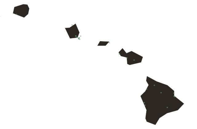
Hawaii
The canoe that left Honolulu Harbor on May first, nineteen seventy-six was sixty-two feet long, double-hulled, and carried no compass, no charts, and no instruments of any kind. The Hokule'a had been built by the Polynesian Voyaging Society using traditional materials and methods, its hulls shaped after the ancient Hawaiian double canoe, its sails woven from canvas in the traditional crab-claw pattern. The destination was Tahiti, twenty-four hundred miles south.
The only navigator aboard was Mau Piailug, a man from the island of Satawal in Micronesia, one of the last living practitioners of open-ocean star navigation, a system of knowledge so complete and so precise that Polynesian ancestors had used it to populate the Pacific from Hawaii to Easter Island to New Zealand over a span of more than two thousand years. Mau read the swells and the stars and the behavior of the clouds and the flight patterns of birds. He kept the course in his mind the way other navigators kept it on paper.
The voyage took thirty-four days. When the Hokule'a raised the coast of Tahiti, several thousand Polynesian people came to the shore to meet it. They understood what the arrival meant in a way that Western observers were still trying to articulate: that the Polynesian settlement of the Pacific had not been accidental, had not been drift voyaging, had been deliberate navigation of extraordinary sophistication across the largest ocean on the planet.
Mau Piailug trained a generation of Hawaiian navigators before he died in twenty ten. The Polynesian Voyaging Society sailed the Hokule'a on a worldwide voyage from twenty fourteen to twenty seventeen, visiting more than eighty ports across twenty-six nations. The ocean that once carried the first Hawaiians to these islands became, through those voyages, a school again.