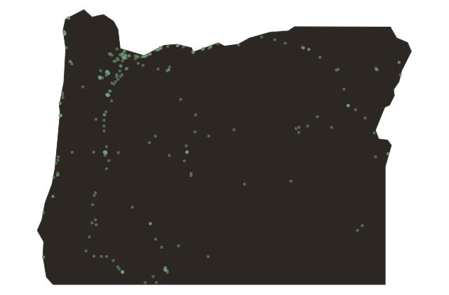
Rogue River: The First Wild and Scenic River in America
Oregon
On October second, nineteen sixty-eight, President Lyndon Johnson signed the Wild and Scenic Rivers Act. The bill established a new category of federal protection for rivers: not dammed, not diverted, not channelized, preserved in their natural condition for future generations. The act named eight rivers to be included in the initial system. The Rogue River in southwestern Oregon was one of them.
It was not an accident that the Rogue made the first list. The river had been fought over for decades. The Army Corps of Engineers had proposed a dam in the Rogue's lower canyon, the thirty-three-mile section between Grave Creek and Foster Bar that is now the most famous stretch of white-water river in Oregon. The dam would have created a reservoir. The dam was never built, partly because the river's white-water reputation and the tourism economy it supported created a constituency for its preservation that the Corps had not anticipated.
The Rogue is a difficult river. The canyon is remote. There are no roads along the lower canyon; access is by foot on the Rogue River Trail, which runs forty-seven miles along the river's edge, or by water. The white water includes Rainie Falls, which most kayakers portage, and Blossom Bar, a technical rapid that requires lining or precise route-finding through a boulder maze. Commercial outfitter trips run the canyon every summer. Self-permitted private parties wait for a lottery system.
The Takelma and Shasta peoples lived along the Rogue before the gold rush of the eighteen fifties brought miners and, within a few years, the Rogue River Indian Wars, a series of conflicts that ended with the forced removal of the Takelma and their allies to the Grand Ronde and Siletz reservations to the north. The river was named after the 'rogues,' as the miners called the Takelma.
The name stuck. The Takelma left. The river itself kept running, which is the point of the Wild and Scenic designation.